Forestry Consulting and GIS Mapping

Forestry Info

Forest Inventory
Good forest inventory data are essential for forest management activities.
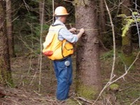
Christensen Forestry Services has type mapped and cruised thousands of acres of forest land in Southwest Washington. We have also developed handheld data collection software, developed user's manuals, and trained field crews to use the data collection applications.
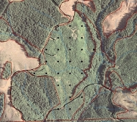
Using our GIS capabilities, we can map stand boundaries, determine stand acres, layout sample plot grids, print maps, and transfer map data to a GPS for field use. We use the latest technology, including handheld computers, lasers, and electronic releskops (LTI RD1000) to accurately and efficiently collect field data.