Forestry Consulting and GIS Mapping

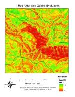
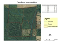
GIS Map Examples
We will be adding GIS mapping examples to this page
Christensen Forestry Services provides GIS (geographic information system) and GPS services for forestry, agriculture, and other natural resource enterprises. We provide these services for any size ownership, from less than one acre to thousands of acres. We currently have GIS data for the states of Washington, Oregon, Northern Idaho, and Western Montana. We can provide maps for other areas depending upon the availability of GIS data.
